Publisher's Synopsis
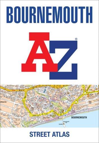
Navigate your way around Bournemouth with this detailed and easy-to-use A-Z Street Atlas.
Printed in full-colour, paperback format, this atlas contains 63 pages of continuous street mapping.
Covered extends to include: Poole, Christchurch, Blashford, Ringwood, Wimborne Minster, Ferndown, Bournemouth Airport, Barton on Sea, Milford on Sea, Lymington.
In addition, there are seperate coverages of Verwood, Lyndhurst and Brockenhurst, an inset of Three Legged Cross and large scale town centre maps of Bournemouth and Poole.
Postcode districts, one-way streets, park and ride sites and the New Forest National Park boundary are also featured on the mapping.
The index section lists streets, selected flats, walkways and places of interest, place, area and station names, hospitals and hospices covered by this atlas.