
Publisher's Synopsis
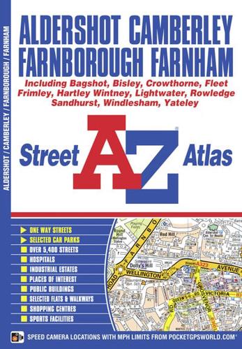
This atlas of Aldershot, Camberley, Farnborough and Farnham has 48 pages of coloured street mapping that extends to include:•Crowthorne, Bagshot, Windlesham, Yateley, Sandhurst, Blackwater, Lightwater, West End, Bisley, Hartley Witney, Frimley, Deepcut, Winchfield, Elvetham Heath, Fleet, Southwood, Church Crookham, Ash, Crondall, Weybourne, Tongham, Wrecclesham, The Bourne, Rowledge and Frensham.One-way streets and postcode districts are featured on the mapping.The index section lists streets, selected flats, walkways and places of interest, place, area and station names, hospitals and hospices covered by this atlas.


