
Publisher's Synopsis
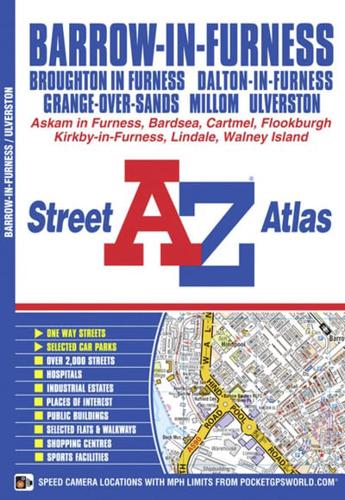
This atlas contains 29 pages of coloured street mapping with continuous mapping covering Barrow-in-Furness, Ulverston, Dalton-in-Furness, Askam in Furness and Walney Island and with separate mapping of:•Grange-over-Sands with Cartmel, Flookburgh and Lindale•Millom•Broughton-in-Furness•Kirkby-in-FurnessPostcode districts, one-way streets and safety camera locations with their maximum speed limits are featured on the mapping.The index section lists streets, selected flats, walkways and places of interest, place, area and station names, hospitals and hospices covered by this atlas.


