
Publisher's Synopsis
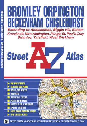
This atlas of Bromley, Orpington, Beckenham, Chislehurst and Swanley contains 32 pages of coloured street mapping with a coverage that extends to:•Eltham•Foots Cray•Hextable•Crockenhill•Badgers Mount•Knockholt•Tatsfield•Biggin Hill•New Addington•Croydon (part)•South Norwood•Norwood•DownhamThere is a large scale town centre map of Bromley.Postcode districts, one-way streets and safety camera locations with their maximum speed limit featured on the street mapping.The index section lists streets, selected flats, walkways and places of interest, junction, place and area names, National Rail stations, Croydon Tramlink stops, hospitals and hospices covered by this atlas.


