
Publisher's Synopsis
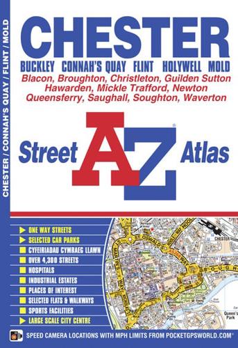
This atlas of Chester (Caer-Lleon), Connah's Quay, Buckley (Bwcle), Flint (Y Fflint), Holywell (Treffynnon) and Mold (Yr Wyddgrug) has 41 pages of coloured street mapping with continuous coverage that extends to:•Carmel•Greenfield (Maes-glas)•Bagillt•Garden City•M56 Motorway Junctions 16 & 15•Mickle Trafford•Waverton•Kings Meadows•Dodleston (inset)•Higher Kinnnerton•Leeswood (Coed-Llai)•Gwernymynydd•Rhosesmor•Pentre Halkyn•BrynfordAlso included is a large scale city centre map of Chester.Postcode districts, one-way streets and safety camera locations with their maximum speed limit featured on the mapping.The index section lists streets, selected flats, walkways and places of interest, place, area and station names, hospitals and hospices covered by the atlas.


