
Publisher's Synopsis
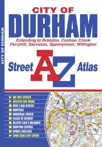
This A-Z map of the City of Durham features 29 pages of continuous street mapping that extends to:•Sacriston•Kimblesworth•Pity Me•Carrville•Bowburn•Coxhoe•Kelloe•Ferryhill•Spennymoor•Middlestone Moor•Willington•Crook•Brandon•Bearpark•Witton GilbertA large scale city centre map of Durham is also included.Postcode districts and one-way streets are featured on the mapping.The index section lists streets, selected flats, walkways and places of interest, place, area and station names, hospitals and hospices covered by this atlas.


