
Publisher's Synopsis
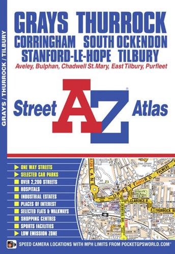
This A-Z map ofGrays, Thurrock and Tilbury features 34 street map pages extending to:•Aveley•Bulphan•West Horndon•Horndon on the Hill•Corringham•Stanford-le-Hope•Chadwell St. Mary•Dartford - Thurrock River Crossing•East Tilbury•Lakeside Shopping Centre•Purfleet•South OckendonPostcode districts, one-way streets and safety camera locations with maximum speeds are featured on the maps.The index section lists streets, selected flats, walkways and places of interest, place, area and junction names, National Rail stations, hospitals and hospices covered by this atlas.


