Publisher's Synopsis
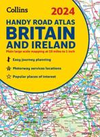
This fully-updated motoring atlas of Great Britain, using 3 miles to 1 inch computer-generated mapping from the Ordnance Survey digital database, includes route-planning pages, restricted motorway junctions, radio information and distances, a Central London street plan, M25 map, city and town plans and an index of place names. This edition also includes an Events Diary for 1998/99 from the British Tourist Authority and a list of properties from The National Trust and English Heritage.


