Philip's Compact Britain Road Atlas

Philip's Compact Britain Road Atlas - Philip's Road Atlas

Revised edition

Paperback (17 Mar 2022)

  • £10.99
Add to basket

Includes delivery to UK

10+ copies available online - Usually dispatched within two working days

free Reserve & collect

Copies available at Blackwell's Edinburgh South Bridge

Reserve in Store |  Check stock elsewhere

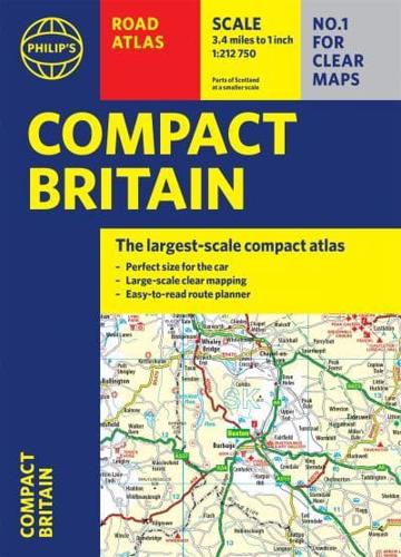
Publisher's Synopsis

Fully up-to-date in a handy flexibound format, Philip's Compact Britain Road Atlas features the super-clear digital cartography, which was voted Britain's clearest and most detailed mapping in an independent consumer survey.

All of Great Britain in a super-clear set of maps specially created to fit in a glovebox, bag or backpack with resilient flexi binding to ensure you have the detail you need and never get lost. There are larger route-planning sections to help you navigate around the island easily and every part of Britain is clearly mapped.

- Chunky 'glovebox' format - perfect for the car or backpack
- Flexibound for robust, long-lasting use
- Completely updated and revised with the latest roads and zones for 2022
- The clearest, most detailed road maps in a compact format
- Complete coverage of Great Britain at 3.3 miles to 1 inch
- Includes a 6-page route-planning section
- Great value

About the Publisher

Philip's

Philip's

Philip?s is one of Britain's best-known map, atlas and reference book publishers. It publishes many long established market leading titles across road and street atlases, as well as astronomy and reference. Philip?s is now leading the way with innovative new product for a rapidly evolving market.

Book information

ISBN: 9781849075787
Publisher: Octopus
Imprint: Philip's
Pub date:
Edition: Revised edition
DEWEY: 912.41
DEWEY edition: 23
Language: English
Number of pages: 1 atlas (352 )
Weight: 572g
Height: 158mm
Width: 215mm
Spine width: 22mm