
Publisher's Synopsis
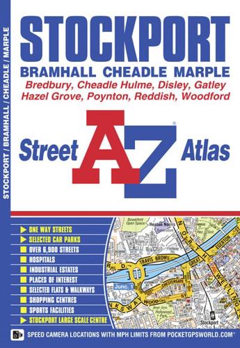
This A-Z map of Stockport, Bramhall, Cheadle and Marple features 33 street map pages extending to:•Ryder Brow•Reddish•Brinnington•Bredbury•Romiley•Compstall•Mellor•Disley•High Lane•Poynton•Woodford•Manchester Airport•Heald Green•Gatley•Didsbury•Heaton Chapel•Also included is a large scale town centre map of Stockport.Postcode districts, one-way streets and safety camera locations with their maximum speed limits are featured on the mapping.The index section lists streets, selected flats, walkways and places of interest, place, area and station names, hospitals and hospices covered by this atlas.


