
Publisher's Synopsis
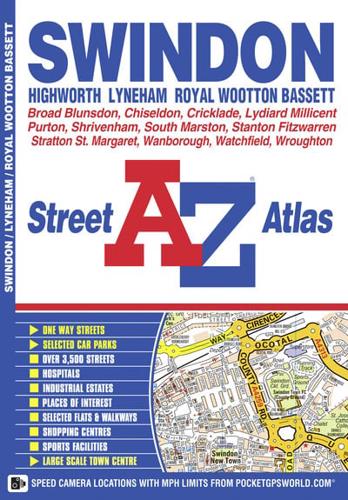
This A-Z map of Swindon, Highworth, Lyneham and Royal Wootton Bassett features 34 pages of coloured street mapping covering:•Cricklade•Broad Blunston•Stanton Fitzwarren•Watchfield•Shrivenham•South Marston•Wanborough•Liddington•Chiseldon•Wroughton•Wichelstowe•Blagrove•Lydiard Millicent•Purton (inset).There is separate coverage of Lyneham and a large scale town centre map of Swindon.Postcode districts, one-way streets and safety camera locations with maximum speeds are featured on the street mapping.The index section lists streets, selected flats, walkways and places of interest, place, area and station names, hospitals and hospices covered by this atlas.


