
Publisher's Synopsis
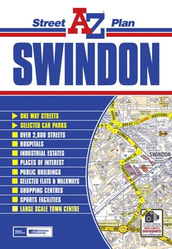
This coloured street map of Swindon covers an area extending to:•Broad Blunsdon•South Marston•Wanborough•Wroughton•Lydiard Millicent•Purton (part)Also included is a large scale town centre map of Swindon.Postcode districts, one-way streets and saftey camera locations with their maximum speed limit are featured on the street mapping.The index is printed adjacent to the mapping and lists streets, selected flats, walkways and places of interest, place, area and station names, hospitals and hospices covered by this map.


