
Publisher's Synopsis
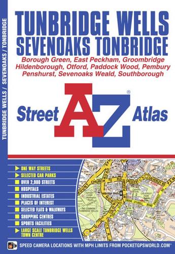
This A-Z map of Royal Tunbridge Wells, Tonbridge and Sevenoaks is a full colour street atlas featuring 38 pages of continuous street mapping that extends to include:•Otford•Kemsing•Dunton Green•Borough Green•Hadlow•Hildenborough•Leigh•Paddock Wood•Southborough•PemburyIn addition, there are inset maps of Penshurst and Groombridge and a large scale town centre map of Royal Tunbridge Wells.Postcode districts, one-way streets and safety camera locations with their maximum speed limit are also featured on the mapping.The index section lists streets, selected flats, walkways and places of interest, place, area and station names, hospitals and hospices covered by this atlas.


