Publisher's Synopsis
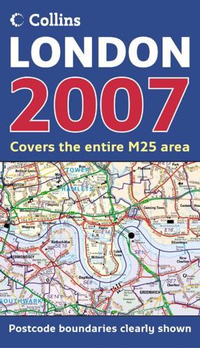
This clear, colourful map covers the whole of the M25 motorway at 1 inch to 1 mile (1:63,360). It contains comprehensive planning and administrative information supported by selected street level detail.MAIN FEATURESA clear, colourful map of an area extending to 20 miles around London. This map is ideal for planning purposes as it has borough areas shown in colour as well as postcodes and selected street level detail complete with full road classification. A listing gives administrative information such as council websites, addresses and population figures.INCLUDES• Administrative areas named and coloured for easy reference.• Postcode information.• All motorways, main roads and major streets numbered and named.• Shows important buildings and landmark features.• Fully indexed.• Information on county/borough size, population, contacts etc.AREA OF COVERAGEExtends from Windsor in the west to Hornchurch in the east and from Harlow in the north to Leatherhead in the south. Covers the whole of the M25 orbital motorway.WHO THE PRODUCT IS OF INTEREST TOThe definitive planning map of London, essential for those concerned with administration, planning and business.