Publisher's Synopsis
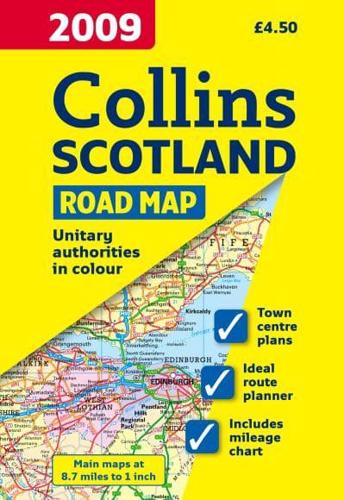
Full colour map of Scotland at 8.7 miles to 1 inch with clear, detailed road network, a selection of town plans and administrative areas clearly shown.This popular map of Scotland has a clear road network laid over a backdrop clearly showing the administrative areas.The map includes:• A road map of Scotland at 8.7 miles to 1 inch with administrative areas clearly shown.• 7 street maps of major towns focussing on the town centres and showing places of interest, car park locations and one-way streets.• Distance chart highlighting distances between major towns throughout Britain.• The key to symbols is in English, French and German.• Index to settlements.This is a general purpose map and is of interest to both business users and for those touring the country. It has a particular emphasis on political features and can be used as a reference map and a route planning map.